foliplus#
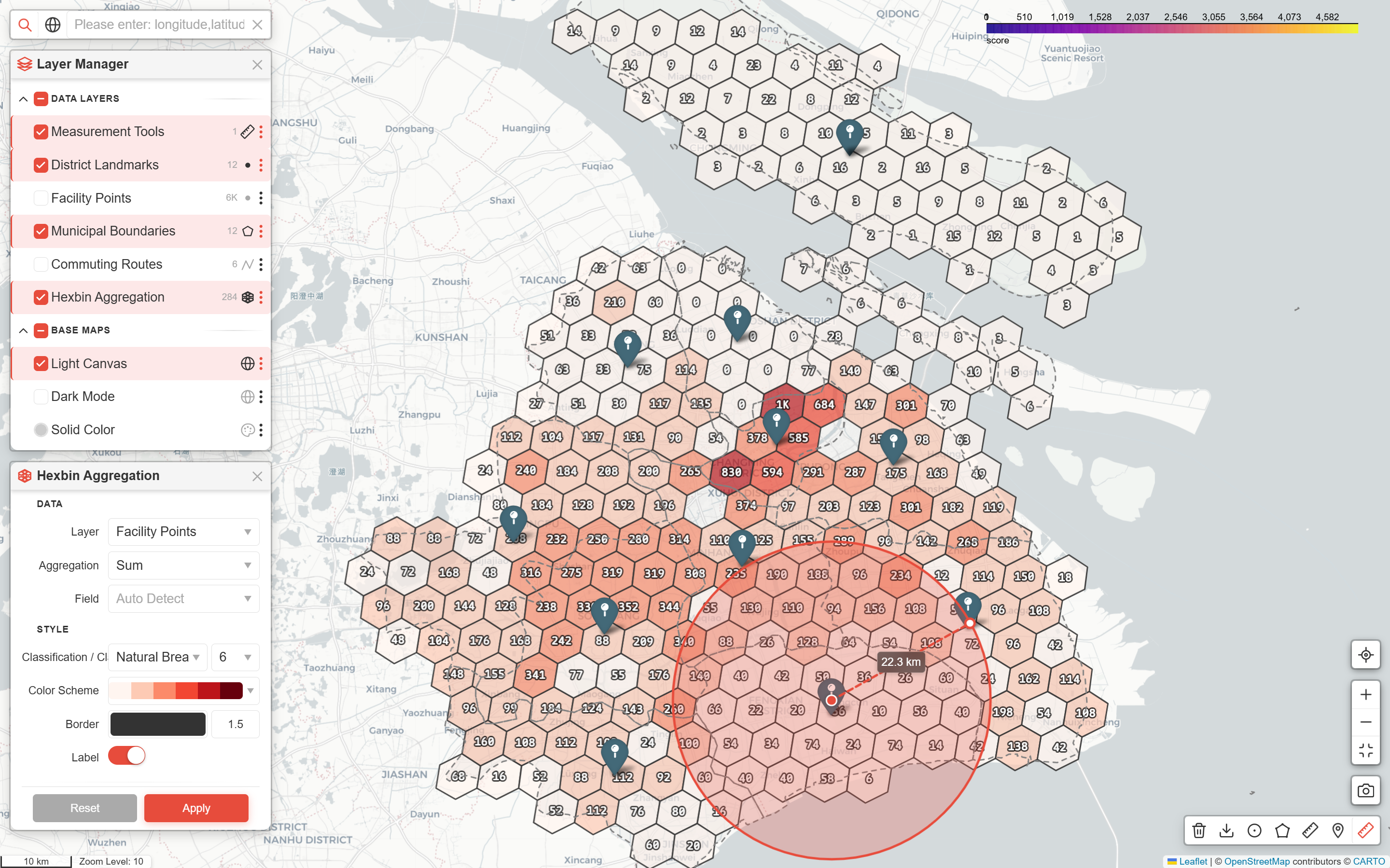
foliplus: the missing piece between “see the map” and “use the map”. GeoPandas handles data, Folium renders it, foliplus brings it to life.
Scope#
Layer data passed to foliplus is read-only: no editing, upload, or deletion.
Data processing happens upstream. foliplus handles the map, not the data.
Features#
Capture a specific area of the map and export it as an image.
Fullscreen toggle with auto-hide for other controls.
H3 hexbin heatmap with zoom-adaptive resolution and labeled hexagons.
Layer panel to organize, inspect, and zoom to map layers.
Fly to the user’s current position.
Measure distances, areas, and circles; place geocoded markers; then edit by dragging nodes.
Scale bar with metric units and optional zoom level display.
Coordinate and address search via pluggable geocode providers.
Quickstart
API Reference
Changelog